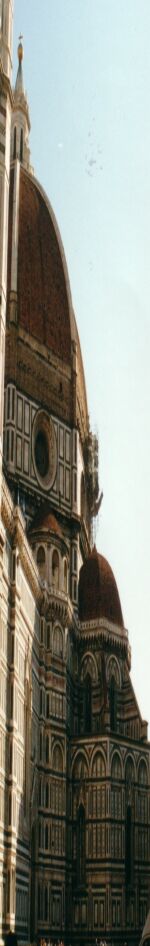
Recreating 16th Century Florentine and Tuscan Clothing and Lifestyle
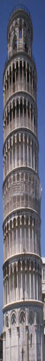  Florence Files |
presented by La Signora Onorata Katerina da Brescia.
The following maps show contemporary drawings of Florence in the mid 16th century and late 15th century.
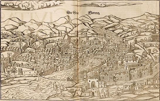 Sebastian Munster (late 1550) 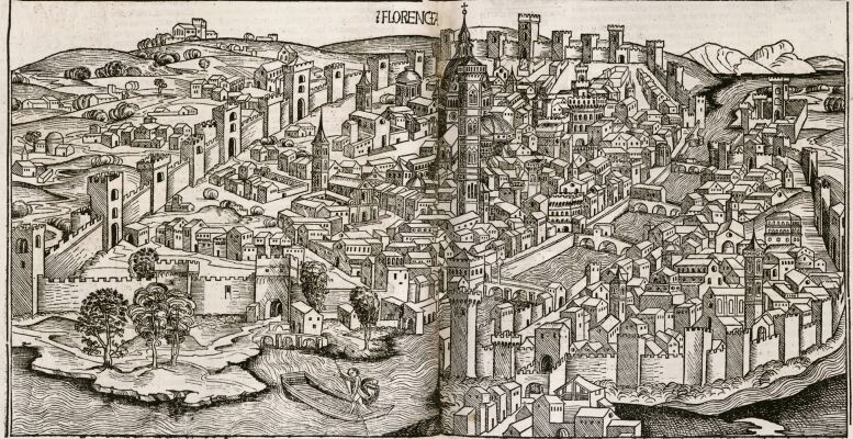 by Hartmann Schedel, 1493 Bibliography:
© K Carlisle. , 2007
|
 |
All intellectual content, original photos and layout are copyright to La Signora Onorata Katerina da Brescia (K Carlisle), except those original renaissance artworks and extant articles whose copyright remains with the current owner.